by Tiwari Academy
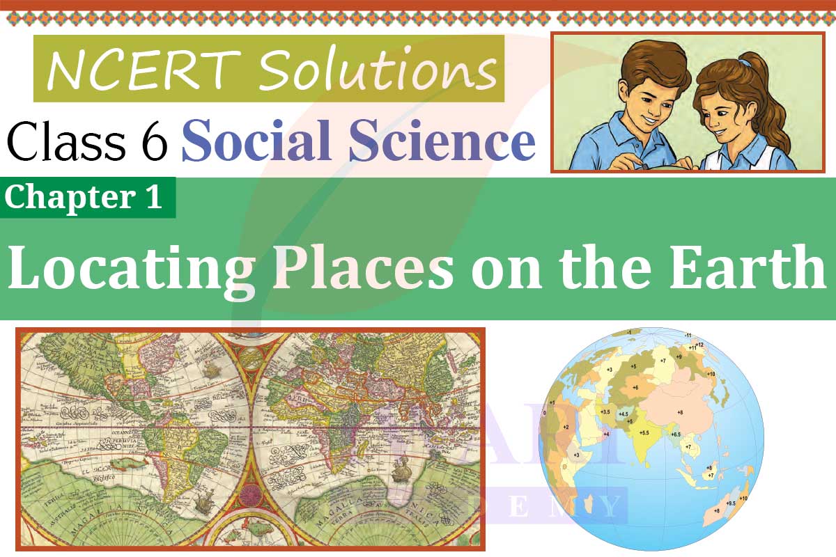
NCERT Solutions for Class 6 Social Science Chapter 1 Updated for Academic Session 2025-26, Locating Places on the Earth. Class 6 Social Science Exploring Society – India and Beyond India Beyond Geography Chapter 1 solutions are given here in simplified format.
Class 6 Social Science Chapter 1 Locating Places Question Answers
Locating Places on the Earth – Introduction to Maps and their Importance
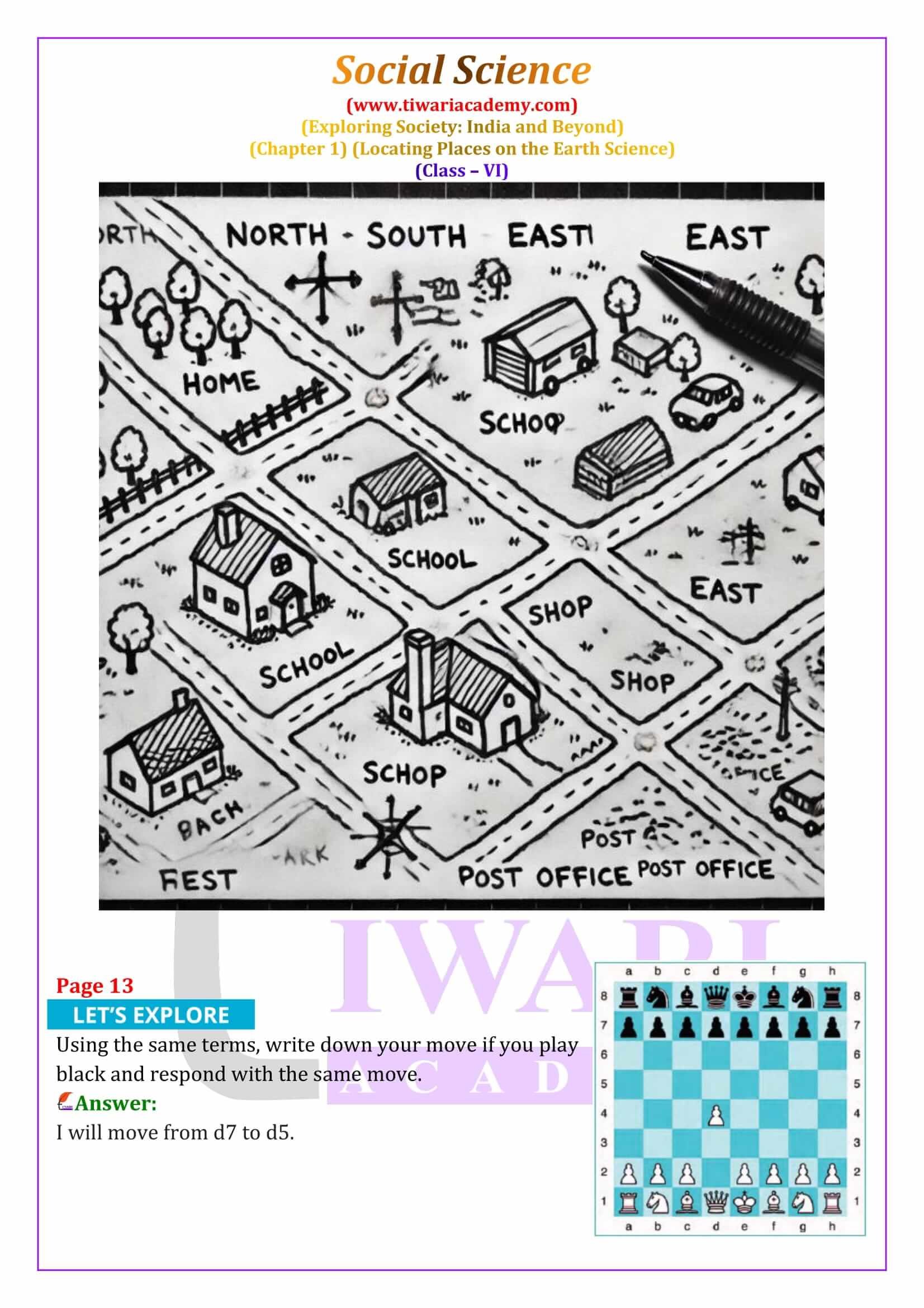
Maps are like a treasure guide that helps us find places we want to visit. In this chapter, we learn about maps in detail. A map is a drawing of an area, whether it’s small like a village or large like the whole world. It shows us where things are and how to get there. Maps are usually viewed from the top and they come in different types, such as physical maps that show natural features like mountains and rivers, political maps that show countries and cities and thematic maps that provide specific information. Three key components of maps are distance, direction and symbols, which help in understanding maps better.
Understanding Map Components: Distance, Direction and Symbols
When looking at a map, you might wonder how a large place can fit on a small piece of paper. This is possible because of the map’s scale, which represents the actual distance between two points. Directions on a map are indicated by arrows pointing north, south, east and west, known as cardinal directions. There are also intermediate directions like northeast, southeast, southwest and northwest. Symbols are small drawings or signs used to represent different features on a map, such as buildings, roads and rivers. These symbols make it easier to include a lot of details in a limited space.
Mapping the Earth: The Role of a Globe
Mapping the Earth is more complex because our planet is a sphere. A globe is a spherical representation of the Earth and gives a more accurate picture than a flat map. Globes can show the Earth’s geography and other celestial bodies. They help us understand how different places are connected. For instance, the North and South Poles are fixed points on a globe, and the Equator is an imaginary line that divides the Earth into the Northern and Southern Hemispheres. Understanding these features on a globe helps us locate places more accurately.
Coordinates: Latitudes and Longitudes
To locate any place on Earth, we use a system of coordinates, which includes latitudes and longitudes. Latitudes are imaginary lines that run parallel to the Equator and are measured in degrees from 0° at the Equator to 90° at the poles. Longitudes, on the other hand, run from the North Pole to the South Pole and are also measured in degrees, starting from 0° at the Prime Meridian. By using these two coordinates, we can pinpoint any location on Earth. For example, New York is located at 74°W longitude, while Delhi is at 77°E.
Time Zones and the Importance of Longitude
Longitude not only helps in locating places but also plays a crucial role in determining time. The Earth is divided into 24 time zones, each 15° apart, corresponding to one hour of time difference. The Prime Meridian at Greenwich is the reference point for calculating time across the world. As the Earth rotates from west to east, time increases as we move eastward and decreases as we move westward. Countries adopt standard time based on a meridian passing through them, like Indian Standard Time (IST), which is 5.5 hours ahead of Greenwich Mean Time (GMT).
The International Date Line and Time Changes
The International Date Line is an imaginary line located around 180° longitude, opposite the Prime Meridian. Crossing this line changes the date by one day; if you cross it eastward, you subtract a day and if you cross it westward, you add a day. This line is not straight but zigzags to avoid dividing countries into different days. The concept of the International Date Line helps us understand how time and dates are coordinated globally, ensuring that the world functions smoothly despite the differences in local times.
The Grid System and its Applications
The grid system of latitudes and longitudes allows us to locate any place on Earth with precision. Maps and globes are essential tools for understanding geography, time zones and the Earth’s rotation. By learning about these concepts, students can better navigate the world and appreciate how interconnected different places are. Whether it’s determining the time in another country or finding a location on a map, the knowledge of latitudes, longitudes and time zones is fundamental for exploring the Earth.